

In this article, we are going to explain the various benefits of Google Earth in civil engineering works such as for surveying works, roads and highways works, water distribution works, bridge works, etc.
In every construction projects, it is very difficult to obtain perfect datas of construction site as well as latest landscape maps with proper detailing such as location of buildings, roads, village, trees, rivers, lake, mountains, etc.
Table of Contents
Google Earth for Civil Engineering
Google Earth is very useful to obtain such datas easily that is time and energy saving for every project.
Nowadays, Google Earth is also very important software for civil engineers as compare to Civil 3D, Midas, Revit, AutoCAD, etc.
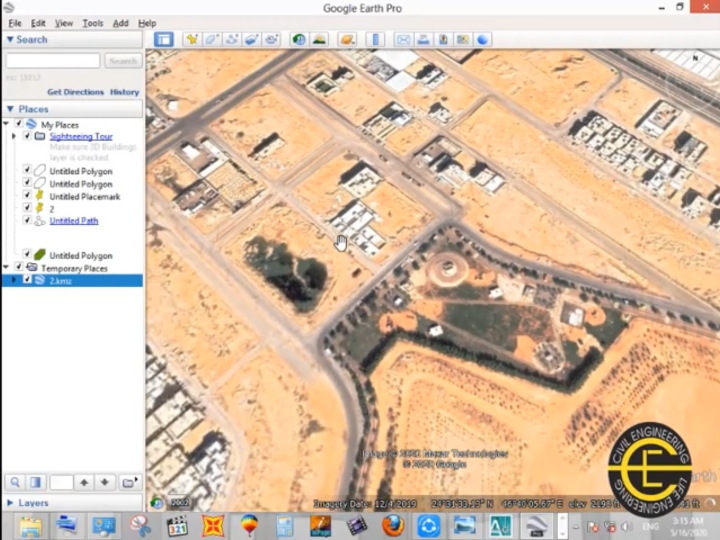
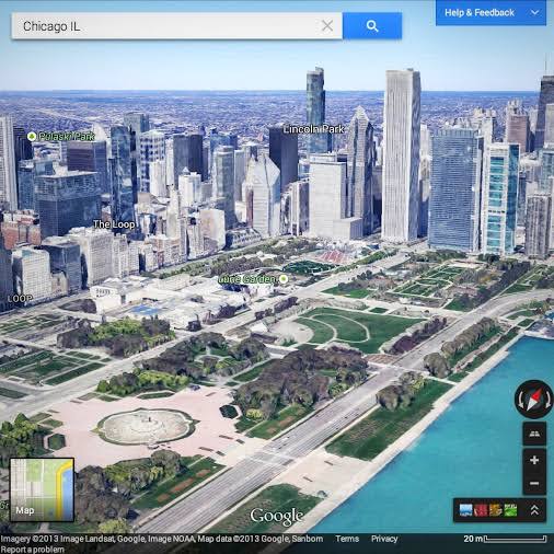
Google Earth software is a one type of geographic information systems that is used to obtain a geo-profile and environment condition of construction site.
Google Earth is mostly used for infrastructure projects such as bridge, roads, highway, railways, culverts, canals alignment, water distribution system, gardening, irrigation projects, etc.
Initial site planning become very difficult without visualisation. Google Earth provide a latest construction s toite data with actual surrounding environment that is help to boost the visualisation about construction sites. Means, Google Earth is helpful for site planning, project planning as well as resources planning.
Also Read: What is Monolithic construction Technology
Benefits of Google Earth for Civil Engineering
The advantages of Google Earth in civil engineering works are listed below.
- Google Earth is used to locate construction site with surrounding Structures and environment.
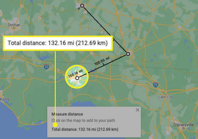
- It is used to measure distance between any locations.
Also Read: Slurry wall construction
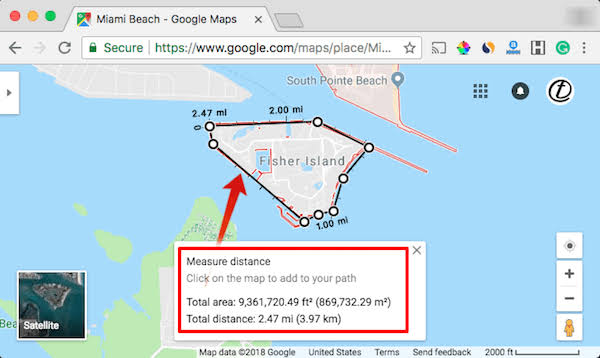
- It is used to measure perimeter of particular sites.
- It is used to measure Area of construction site.
Also Read: Tunnel Formwork system
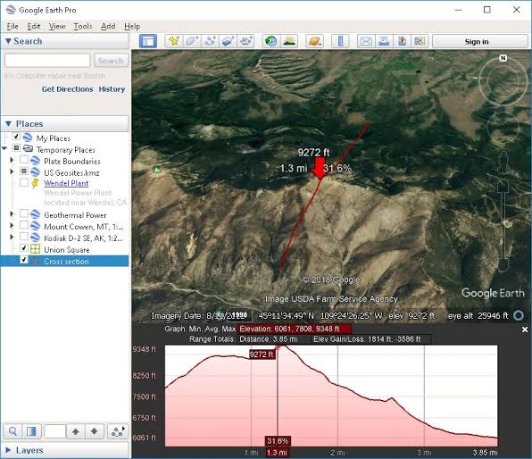
- It is used to obtain the elevation of any object with reference to mean sea levels.
Also Read: Most Useful IS Codes for Civil Engineer’s
- Google Earth is used to obtain longitude and latitude coordinates of any object.
- Google Earth is used in construction works for initial site planning.
- It is used to obtain earthworks quantity of area.
- It is used to draw alignment of roads, highway, railways, canals, bridge on map.
- It is used to open Kamz file for exact location.
- It is used to create surveying datas.
- It is used to obtain site levels for elevation and section purposes.
- Google Earth provide 3d maps that is helpful for site visualisation.
Also Read: Best Civil Engineering Works Rate Analysis Excel Sheet
- Its save time, energy, and money.
- Easy to use.
These are the few main benefits of Google Earth software in civil engineering as par our experience.
I hope you like this post and share with your friends.

I am a Professional Civil & Structural Engineer having more than 4 years of experience in Engineering, Procurement and Construction industry. Here i sharing the latest updates of EPC Projects and Construction News.