
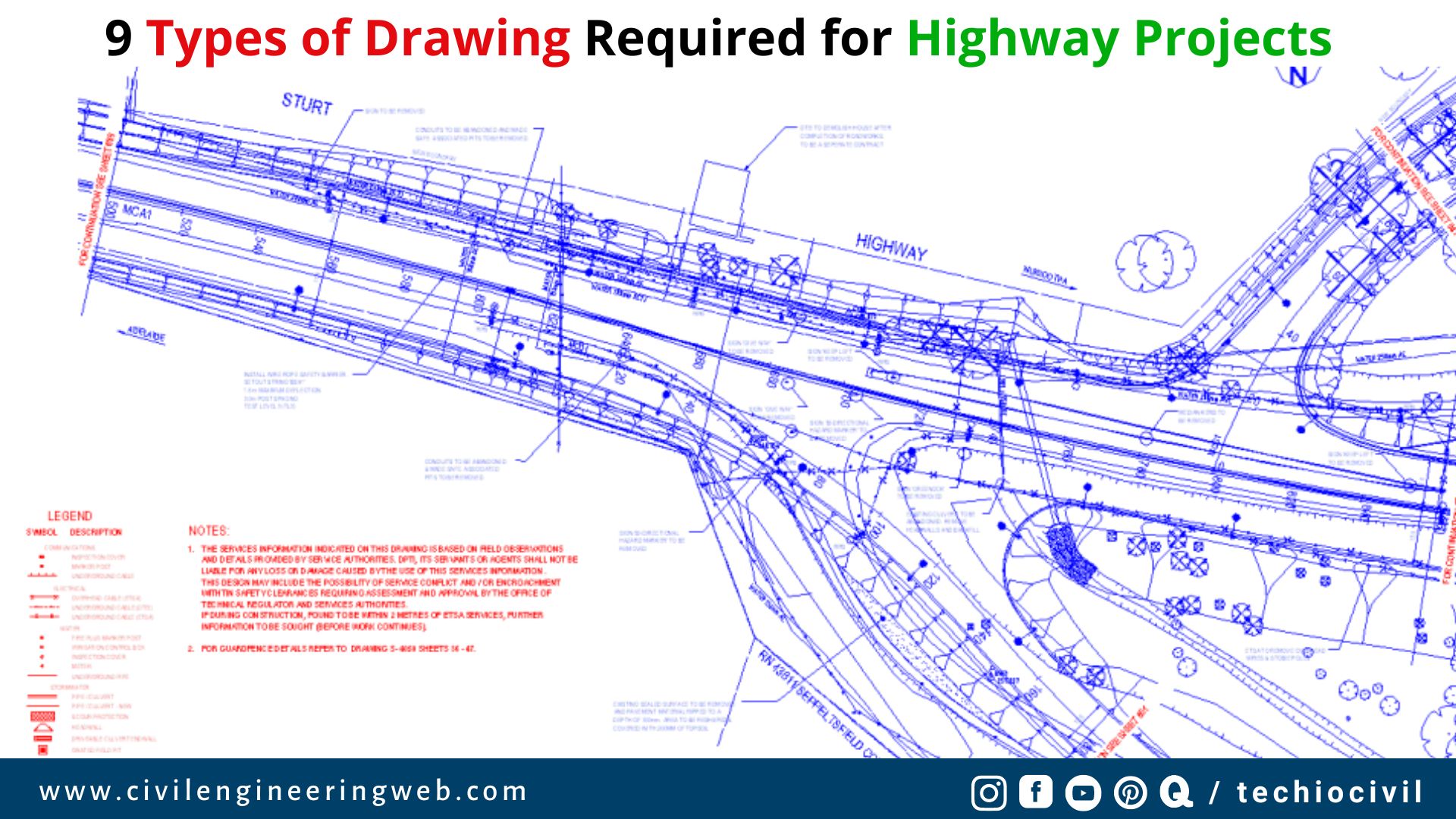
In this article, we share the details of different types of drawing required for highway projects, what are they?, purpose of that drawings, scale of drawings, etc.
So Please read the article till the end, if you get any valuable information from this article then please share it with your friends and colleagues. Let’s Start.
Table of Contents
Types of Drawing Required for Highway Projects
The following drawings are usually prepared in a highway projects.
- Key Map
- Index Map
- Preliminary Survey Plans
- Detailed Plan and Longitudinal Section
- Detailed Cross Section
- Land Acquisition Plans
- Drawings of Cross drainage and other retaining structures
- Drawings and road intersections
- Land plans showing quarries, etc.
1. Key Map
Key map is defined as a map which showing the key structures of site location such as proposed and exiting roads, and other important places to be connected.
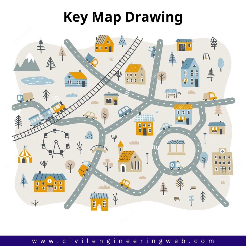
The scale of key map is chosen suitably depending upon the length of road and site location. While, The size of plan generally should not exceed 22 x 20cm.
Also Read: What is Carriageway in Road | IRC Recommendation
2. Index Map
Index map is the map which showing the general topography of the area. The details in index map are symbolically represented.

The index map should also be drawn in suitable scale. While, The size of index map should not exceed 32 x 20 cm.
3. Preliminary Survey Plan
Preliminary survey plan includes the details of highway alignments, alternate way, etc. And this all details should be drawn in a scale of 10cm = 1km to 25cm = 1km.
Also Read: What is Camber in Road | Importance of Camber
4. Detailed Plans and Longitudinal Sections
Detailed Plans
Detailed plan is a plan which showing the ground plan with alignment and the boundaries, contours at interval of 1 to 2m in plain terrain and 3 to 6m in hilly terrain, showing all details including existing structures.
A scale of detailed plan of highway road is 1/2400 in close country and 1/1200 for detailed plans. The size of drawing may be A-2 size or 60 x 42 cm approximately.

Longitudinal Sections
Longitudinal section is a sectional diagram of road in longitudinal way. It includes the details of datum line, existing ground surface, vertical profile of the proposed road and position of drainage crossings, etc.
Longitudinal sections of roads should be drawn to the same horizontal scale of the ground as in detailed plan. Vertical scale may be enlarged 10 times of the longitudinal scale.
Also Read: What is Highway Alignment
5. Detailed Cross Section
Detailed cross section includes the information of filling/cutting area, reduced distance, cross sections numbers, etc. Cross section details of roads should be drawn every 100m or where there are abrupt changes in level. While, In hill roads the cross section should be drawn in close intervals.
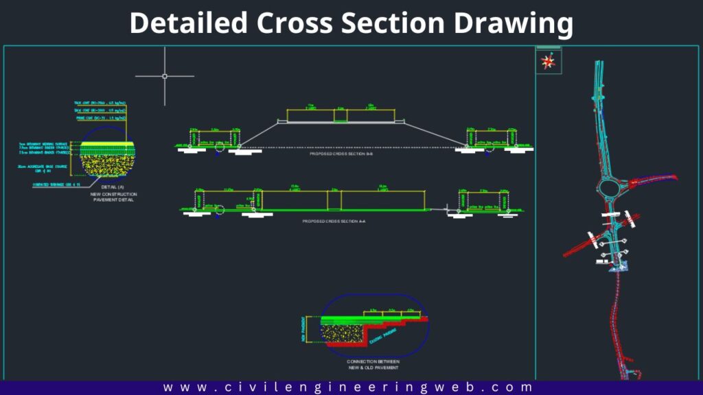
Detailed cross section of roads are generally drawn in scale of 1cm = 2.0 to 2.5m. The cross section drawings should extend at least up to the proposed right of way.
Also Read: Different Types of Road Patterns
6. Land Acquisition Plans

Land acquisitions plans and section usually prepared from the survey drawings for land acquisition details. This plans show all general details such building, wells, nature of gradients, and other details required for assessing the values. The scale of land acquisition plans to be in 1cm = 40m or less.
Also Read: Classification of Roads in India
7. Drawings of Cross drainage and other retaining structures
This drawing of road includes the various details of cross drainage and other retaining structure which is drawn in scale of 1cm = 1m. For details of any complicated portion of the structure, a enlarged view is drawn in scale of 8cm = 1m. The size of this drawing should not exceed the standard drawing size.
8. Drawings of Road Intersection
Drawing of road intersection should be prepared showing all details of pavement shoulders, island, etc. in to the standard scale or a as mentioned in cross section and longitudinal sections.
9. Land Plans for Quarries
Where quarries for construction materials are to be acquired for new projects, separate land plans should be prepared. The size of these maps and scales may be similar to those suggested under land acquisition.
Also Read: Top 5 Best books for highway engineering
Reference
- Highway Engineering book by Khanna & Justo

I am a Professional Civil & Structural Engineer having more than 4 years of experience in Engineering, Procurement and Construction industry. Here i sharing the latest updates of EPC Projects and Construction News.